


An article directly understands RTK accuracy!
RTK (Real-time kinematic, real-time dynamic) carrier phase difference technology is a difference method for real-time processing of carrier phase observations of two measurement stations, and sends the carrier phase collected by the base station to the user receiver for difference calculation and coordinates. This is a new and commonly used satellite positioning measurement method. Previous static, fast static, and dynamic measurements required subsequent calculations to obtain centimeter-level accuracy, while RTK is a measurement that can obtain centimeter-level RTK positioning accuracy in real time in the field. As a major milestone in the application of GPS, its appearance has brought new measurement principles and methods to engineering stakeout, topographic mapping, and various control measurements, greatly improving work efficiency.
With the rapid development of positioning system technology, people's demand for fast and high-precision positioning information is also increasing. Therefore, the most widely used high-precision and precise positioning technology is RTK. The key of RTK technology is to use the carrier phase observation of GPS, and through the spatial correlation of the observation errors between the reference station and the mobile station, remove most of the errors in the observation data of the mobile station according to the form of the differential signal, so as to Realize RTK high-precision (decimeter or even centimeter level) positioning.
The biggest problem encountered in the application of RTK technology is the effective range of reference station calibration data. The spatial correlation of GPS errors gradually loses linearity with the increase of the distance between the reference station and the mobile station , so at a long distance (single frequency > 10km, single frequency > 30km), the customer data processed by the differential signal still has a large Large observation errors may result in reduced positioning accuracy and full-circle ambiguity that cannot be corrected for carrier phase. Therefore, in order to ensure satisfactory positioning accuracy, the operating distance of traditional stand-alone RTK is very limited.
In order to get rid of the shortcomings of traditional RTK technology, in the 1990s, Internet RTK technology was proposed. In the network RTK technology, the point-shot GPS error entity model of linear loss is replaced by the regional GPS network error entity model, which not only uses the GPS network composed of several reference stations to realize the GPS error entity model of a region, but also provides a wireless network Customers in the coverage area provide calibration data. What the user receives is not the observation data of a specific reference station, but the data of a virtual reference station, and the calibration data of a reference grid map that is closer to its own position, so the Internet RTK technology is also called Virtual reference station technology (Virtual Reference). The principle is to push out the communication satellite data observed by the GPS receiver located in the base station in real time according to the data communication link (radio station), and on the premise that the GPS receiver located in the nearby mobile station observes its communication satellite, it can also After receiving the broadcast data signal from the base station, the three-dimensional coordinates of the mobile station are obtained through parallel processing of the received signal, and its RTK accuracy is estimated.
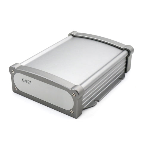
(Beitian GNSS Receiver BT-200W)
When using RTK operations, at least two GPS receivers are equipped, one is fixed on the base station, and the other is used as a mobile station for positioning measurement. There is also a data communication link between the two receivers to send the observation data in the base station to the workstation in real time. Parallel processing of the data (signals and reference station signals) received by the workstation requires RTK software, the core of which is to obtain double-difference ambiguities, correct baseline space vectors, and convert coordinates.
RTK technology can also obtain centimeter-level RTK precise positioning accuracy in a very short time, and is widely used in industries such as map root construction survey, construction survey, construction engineering survey and topographic surveying and mapping. However, RTK also has some defects, mainly reflected in the need to build a local reference station, and the error increases with the increase of the distance between the mobile station and the reference station.
Everyone knows that RTK measurement accuracy = RTK standard accuracy + conversion parameters + human error + instrument stability , so RTK measurement accuracy will be affected by these 4 points.
1) RTK nominal accuracy
The level is 0.8cm+1ppm·D, the elevation is 1.5cm+1ppm·D, where D is the distance between the base station and the rover, in km, and the RTK accuracy will increase as the distance increases.
2) Conversion parameters
When calculating the conversion parameter correction, the accuracy of the correction point itself, the distribution of the point and the elevation fitting method used are directly related to the reliability of the result, and the distribution of the correction point is the most important thing.
3) Human error
The centering error of the man-made pole .
4) The stability of the instrument
The stability of the positioning accuracy of the GNSS receiver and the confidence of the observation data.
If you want to know more about the latest RTK information, please pay attention to Shenzhen Beitian !