


GPS/GLONASS Combined Positioning Technology
The so-called GPS/GLONASS combination technology is to use one receiver to receive and measure GPS and GLONASS satellite signals at the same time, so as to accurately measure the three-dimensional position, three-dimensional velocity, time and attitude parameters anywhere in the world at any time.
Its applications include: high-precision differential navigation, autonomous precision navigation, time and frequency reference, offshore station management, precision surveying, etc. The GPS/GLONASS combined receiver combines various capabilities of GPS and GLONASS in one unit, providing users with performances that cannot be obtained with only GPS receivers or only GLONASS receivers. Since the two satellite-based navigation systems, GPS and GLONASS, are basically the same and similar in terms of system configuration, navigation and positioning mechanism, working frequency band, modulation mode, signal and ephemeris data structure, etc., they both use spread spectrum ranging codes, The pseudo-range between the satellite and the user is measured to complete the navigation and positioning, so it is possible to use a user equipment to receive these two kinds of satellite signals at the same time. When the two systems are working independently, there may be gaps that are difficult to cover and can be handicapped. However, if the two systems can be used in combination, due to the increase in the number of available satellites, not only can the coverage gap of a single system be filled, but also the system accuracy can be significantly improved. Especially for military users, it is beneficial to relieve worries.
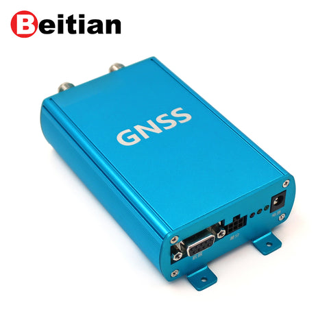
(Beitian High Precision Receiver BT-Z003)
The combination receiver has the following advantages:
1. Improved system integrity: In actual navigation systems, integrity is a very important indicator. When a satellite that has failed (whether temporarily or for a long time) is still broadcasting navigation messages, ground users are likely to cause wrong navigation positioning due to wrong messages, which will have serious consequences. However, when the two systems are used in combination, due to the doubled number of observable satellites, failed satellites can be reliably found to avoid losses.
2. Improved system reliability: It is not enough for the satellite system to be available, it should also have sufficient reliability. The International Civil Aviation Organization (ICAO) has strict requirements on the reliability of civil aviation navigation systems, stipulating that its failure probability should be less than 1×10⁻⁸. This is too harsh a requirement for any of the two systems, but for the combined system, since more than 10 satellites can generally be observed at the same time, as long as 4-5 of them work normally, an effective navigation solution can be obtained. , to meet the requirements of ICAO.
3. Improved system accuracy: integrated navigation can select a group of satellites with the smallest geometric precision factor (PDOP) value in the two systems, and GLONASS satellites have no influence on selection availability (SA), so it can provide users with higher Navigation accuracy.
4. Improved navigation continuity: In high dynamic applications, there is a large radial component of acceleration between the moving carrier and GPS satellites, which can easily lead to the loss of lock of the receiver tracking loop, making it difficult to obtain stable real-time positioning and attitude measurement precision. After adopting GPS/GLONASS combination receiver, it can not only receive signals from more than 4 satellites at any time of the day, but also select satellites with smaller radial acceleration to form a positioning constellation to ensure the continuity of navigation.
Generally speaking, when the GPS/GLONASS combined receiver locks on 4 similar satellites, it can determine the three-dimensional position and velocity, and the velocity accuracy is 1cm/s. A typical combined receiver has 12 parallel ports for tracking GPS satellites and 12 parallel ports for tracking GLONASS satellites, with a large capacity so that it can always utilize the latest available constellation to provide the most accurate position. If a satellite system or a satellite is shut down or malfunctions, or if a satellite becomes unhealthy, the combination receiver will automatically use the healthy satellite.